Saturday, July 21, 2018

Global Warming, A Battle of Chess (Prudence Island Part 2)


It's a battle of chess, really.  There are two opposing forces and many possible moves on both sides.  In three moves, a rainforest is cut down to graze cattle for burgers and the resulting methane cuts a hole in the ozone.  The opening forces the fish to keep inching forward, northward, risking being picked off by new species or perhaps taking down a few themselves.  The king hasn't moved from his fishing post, but right whales are getting struck by the boats and tangled by the gear as they pursue menhaden that have moved into cooler waters.  Should the king castle, and fish somewhere else?

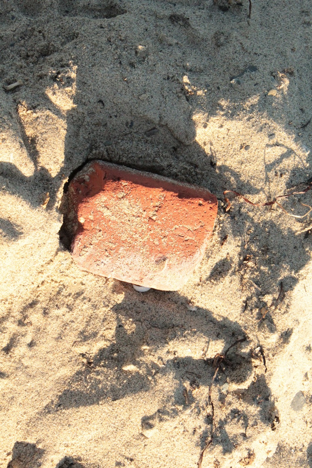
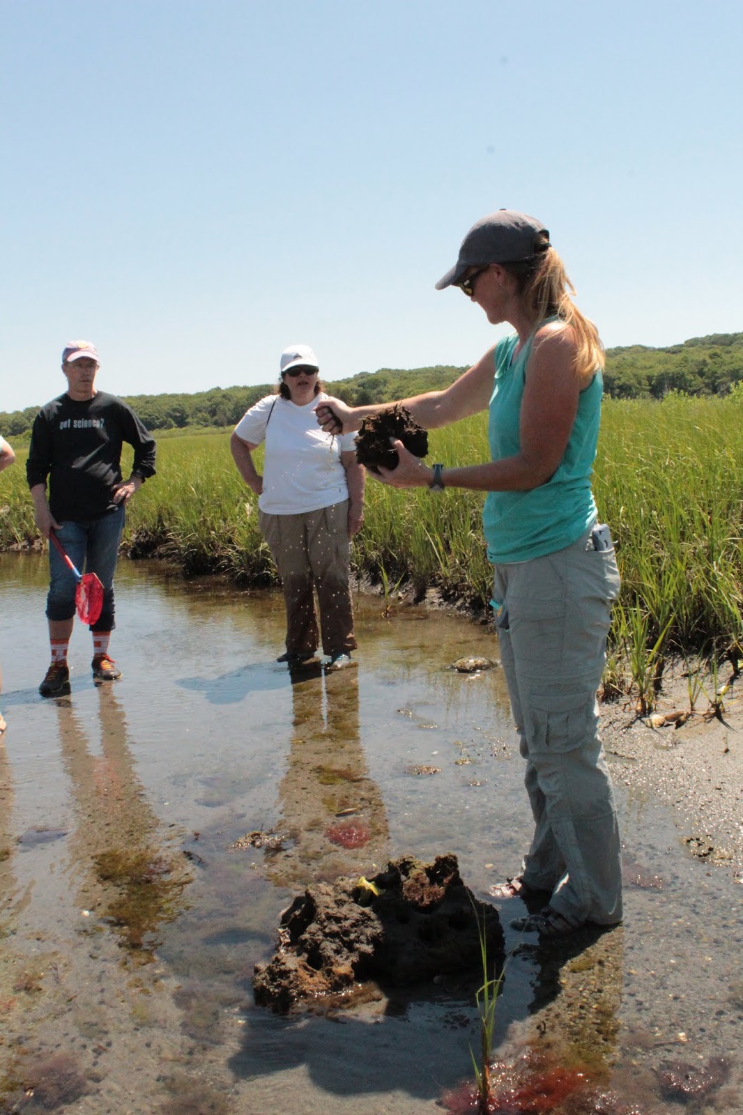
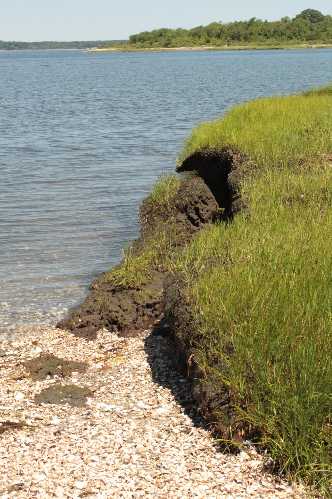
When I was on Prudence Island a few weeks ago, I got to see first-hand the various pieces in play to monitor and combat the effects of global warming.  Our TOTES group got to test three water samples from different parts of the island to try to figure out where they were from.  We looked at temperature, salinity, dissolved oxygen, pH, turbidity (how clear the water was), and sedimentation (anything in the water that settled to the bottom).  We tested pH with tablets and a lot of shaking, comparing the color with a guide with three shades of pink and also used the probe I was familiar with creating slurries of soil and water to test soil pH.  

They collect data at three sites.  At the T Wharf in the south end of the island there is a 660002 ex02 SONDE sensor that collects data every 15 minutes for 3-4 hours.  The four sensors inside are calibrated with known solutions and track temperature/salinity, pH, turbidity, dissolved oxygen, and chlorophyll.  Problems with the sensor (or anything left in the water, really) are algae growing on them, raising the dissolved oxygen and turbidity, or getting inundated with sea creatures such as polychaete worms, anemones, barnacles, or mussels, which then bring in the species that prey on them.  Once, one of the scientists on Prudence cleared off several mussels with a few sea stars predated them.

We were given various "mysteries" to solve using the online SWMP (System Wide Monitoring Program).  Where turbidity has increased and dissolved oxygen had decreased, both turned out to be algal blooms, of which one was caused by fertilizer run-off.  In another scenario, my partner actually had lived in the estuary are in Texas.  I'm looking at the information on the sheet and trying to figure out how the mussels in the area went from scant numbers to a boom.  I looked at the salinity and the march water had gotten much saltier.  I thought it might be drought, but what had caused the boom?  A flood?  My partner knew there had been a drought, and being at the low end of the water table, when the higher elevated areas in Texas further north did get rain, it overflowed their dam, which had to be released.  The influx of fresh water rebalanced the marsh to the benefit of the mussel population.

Coast.NOAA.gov/estuaries is the website that stores information on 29 estuary reserves (NERRS) and offers graphing tool for scientists and students alike.  Launch the SWMP Graphing Tool.  Then complete five easy steps: 1. Select the data you're looking for: water quality (WQ), meteorological (MET), nutrients (NUT).  2. Select the start and end dates you want to look at. (It's very interesting to look at data right before and after a natural disaster such as a hurricane.)  3. Select the station you want information from.  4. Select a parameter, such as air temperature, barometric pressure, various wind parameters, humidity, there are a number of choices.  5. Select an output (graph or CSV file that contains all the raw data).  I looked at Hurricane Maria with the data from Puerto Rico from August 27th to September 27th.  You can add parameters to your graph once the first 5 steps are complete.  I looked at cumulative precipitation and wind speed.  There was an enormous spike in both between September 19th and September 21st.  

What use is all this data?  It helps make future decisions, set up the chess pieces.  Global warming puts more water into the atmosphere, leading to bigger storms.  Data like this can be used for coastal management, researchers, and students, as well as fishermen and women, shellfish harvesters, tourism councils, real estate developers, search and rescue planning, weather forecasters, emergency vehicles needing access to non-flooded roads, and national decision makers.

So a lot of pieces are at play.  What will your next move be?

Friday, July 20, 2018

Free Stuff and Support

I'm running a FREE family activity at the Blackstone Park in Providence, RI, across from the boat house JULY 29th, where we'll be looking for evidence of animals from 1:30 to 3:00.  You can download the activity for $15 at my Teachers Pay Teachers site.

August 11th I'll be hosting "Bugemon Go!" and collecting and classifying insects at Borders Farm, Foster, RI.  Please contact them to register for 10-11 or 12-1 and check out their open house as well.

My Patreon is now LIVE!  Get first access to materials, videos, games, and more!

Environmental Education and Art

See you outside!

Melissa

Saturday, July 14, 2018

The Wisdom of Prudence


I just returned from Prudence Island, where I was part of T.O.T.E. (Teachers on the Estuary).  My mind is swimming with new information on the role estuaries play in the environment and the impact of global warming.  First, what is an estuary?  It's a semi-enclosed body of water that is connected to an ocean, mixing fresh and salt water.  Sea water is diluted by fresh water spilling out from land drainage, creating a brackish habitat for shellfish, birds, specialized grasses, and many other species. It acts as a filter for sediment, run-off, erosion, even absorbing contaminants, animal waste, fertilizer, and more.  In Rhode Island, this is Narragansett Bay, with "2,924 acres of salt marsh, 1,466 acres of beach, 582 acres of rocky shore, 569 acres of tidal flat, 656 acres of brackish/Phragmites marsh, 160 acres of salt shrub wetland, 100 acres of eelgrass beds, 46 acres of panne and pool, 43 acres of dune, 9 acres of oyster reef, and 3 acres of streambed habitats (Huber, 1999)".  (The largest estuary on the East Coast is the 64,000 square mile Chesapeake Bay in Maryland.)  NERRS (National Estuary Research Reserve Sentinel Site) monitors 29 reserves across almost every coastal state (but sadly Louisiana is not a part of it).  

What would I learn here?  I went exploring along T wharf, in the south part of the island. There I found soft sand, a plethora of slipper shells, and the washed up remains of crabs.


An empty clam shell spread its angel wings open, its ghost in some crab or bird.  Down the beach, I found a dead seagull.  So much in the fishes' debt, it would now repay it.


How many birds passed this way?  How long has this brick rolled in the surf?

Shy coffee bean snails stay moist above the salt.


How important is the estuary?  Besides its role as a filter, the tide brings in plankton and nutrients, the basis of the wetland food web.  There are more than 60 species of fish and shellfish in Narragansett Bay, bringing in $25 million alone.  Tourism, recreational fishing, and other recreational activities bring in $400 million annually, as well as create 15,000 seasonal jobs.  In addition, oysters can filter over 50 gallons a day and plankton can absorb river run off.  The estuary acts as a sieve, sifting sediment back and forth.  The resulting silt traps sediment and contaminants.  Estuaries also help with storm protection, buffering wind and water and fighting erosion.  But there is a limit to what the estuary can handle.  

Threats to the estuary include loss of habitat, such as when they are filled for building or transversed by roads.  Farm and fertilizer run-off, road run-off, land clearance leading to erosion, and sewage run-off can be excessive and create algal blooms, reducing dissolved oxygen in the water and killing wildlife.  People with land abutting wetlands should take care not to over-fertilize their lawns and to plant native wetland species along the water's edge as a buffer zone.  Non-native invasive species can quickly choke out native species, creating a monoculture that does not support the biodiversity of the species dependent on native plants and habitats.  

One such native species is eelgrass.  Eelgrass, one of the few seed-bearing plants that can tolerate complete submersion in brackish water, also provides habitat to fish such as shiners and North Atlantic puffer, shrimp, crabs, isopods, amphipods, bristle worms, shellfish, and the birds and other animals that eat them (including us).  Our group got to seine for specimens at the T Wharf beach and were not disappointed!

Seining the beach.

In this collection we found all of the above and a moon snail egg case!


A bristle worm, or clam worm.
It's hard to make out in the photo, but this one was giving off bioluminescence!

More about these Annelids here.

Hermit crabs were everywhere!
Two puffer fish were added to the exhibit tank.
Shiners!
We found two species of isopods.

Green crab and friends.
Whelk egg case.  Whelk shell.

Very feisty Lady crab!

We also got to witness how fiddler crabs change the environment, softening banks with their digging and getting the marsh to "migrate"!  Mussels were prevalent along the marsh creek.  


Mucky and just right for some invertebrates.

Small green crab from the creek.
Horseshoe crab in Nag Marsh creek.

Not a "crab", but its own Order of Arthropod.

Fossil records at the Visitor Center and exhibit.  Horseshoe crabs have changed
very little over the ages and are sometimes called "living fossils".

Dead horseshoe crab at the North End.
Slugs hiding under the living horseshoe crab.

Mussel bed.

Fiddlers scatter at our approach.


Hiding in the mud, waiting for food to go by.  Only the males have the larger claw.

Another green crab.

Clumps of peat allow grasses to grow.  Cord grass actually
 secretes salt to help it survive the brackish water!
Examining peat.


We monitored the biodiversity of the plants using a point intersection method.  Basically, we lay a yard stick down, and noting at the 0, 25, 50, 75, and 100 cm marks, we wrote down the species we observed, going down in a grid pattern until we had marked 50 points.  We mostly had salt meadow hay, some cord grass (which excretes salt to survive the brackish water) and spike grass, and a single marsh lavender (which is a forb).  Other areas had the tasty sea pickle.  At higher elevations, marsh elder shrubs took over.  

Cordgrass (L), Sea pickle (R).
Seed heads.
Marsh elder (Iva).

Nasty green head fly.

With rising sea levels due to global warming, water will become more saline and elevation of water will literally drown salt marshes.  Species die off.  The marsh migrates to higher ground if the space and light are there.  Trees die off from the saltier soil.    One way monitors are trying to combat rising sea levels is to add sediment to create a blank canvas for natives to return to.  It's in the experimental stages right now.  Prudence Island has two mixes going down 17 cm, containing sediment with feldspar and biochar.  They were put in an already drowning marsh in early spring of this year.  They marsh is losing 5.5 mm of elevation a year and only building 1.3 mm a year unaided.  So far, only cordgrass, which propagates itself through seeds and runners, has appeared in the sediment plugs.

Exploring Chase Way Beach.
Two sediment plugs at Sheep's Pen in the North End, where Roger
Williams and others grazed sheep once upon a time.


Up at Coggeshall Marsh, we saw erosion first-hand.  The soggy grass area was falling in and the dunes were eaten away.  Without the first buffer, much of the beach will disappear.  Current estimates show a sea level rise of over 8 feet by 2100.


Another threat to the shore are invasive species.  In an experiment, invasive Phragmites australis was removed along one edge of the beach and another swath left in place to compare the two.  The data from both the sediment plug experiments and phragmites removal experiments are shared with others with similar habitats to help make decisions on steps to take to preserve the marshes and estuaries.

Prickly pear cactus!

Prudence Island is unique in that some species thrive there.  (I even found a prickly pear!) But the island does have a number of invasive species, including the reed Phragmites australis, Oriental bittersweet, European larch, and barberry.  They also have Asian shore crabs, which range from North Carolina to Maine, perhaps even Nova Scotia.  (They first appeared in New Jersey in 1988 and can reproduce several times per year.)  They cross the Atlantic inside cargo ships that must take in water from their point of origin to balance their ship, then flush out that water after unloading to rebalance.  We had the task of monitoring number, size, and gender of these crabs by looking under rocks and trying not to get pinched!

Holding them on the side proved effective.  A "Washington monument"
shape beneath indicates male.  Females have a "White House" dome shape. 
Female.
Female with eggs.
Here, one is foaming to get oxygen.
An interesting reddish morph.  It may have recently molted.
They hide under rocks and avoid predation by seagulls.
This one liked me.

First, we used a 49 point grid using fishing line to note rock size:
sand, pebble, gravel, boulder.  Then we removed the smaller rocks first,
grabbing all the crabs hiding underneath.
We found many sizes, mostly male.


23 mm carapace.

Using a caliper to measure.  The smallest we measured were 2 mm.

Barnacles, another kind of arthropod, covered many rocks.

Amphipod and periwinkle snail.

Warming waters have brought predators to the native winter flounder, lobsters are moving further north into Canada, and black sea bass are moving into Rhode Island.  Maryland's blue crab may even start moving into New England states!  Below, bittersweet overtakes trees and poles.  Could kudzu be next?


There were signs of success, however.  An area once riddled with Phragmites australis now has cattails, cordgrass, and others moving back in after intensive removal of the reed.  

It is also a great area for pollinators!  There were plenty of copper butterflies, who especially liked the mountain mint in the pollinator garden.  I identified nine species of bees (Bombus impatiens, griseocollis, and perplexus, Apis mellifera, two Halictus, 2 Agapostemon, and a Ceratina.)  I watched two slow and fat Monarch caterpillars nibble away on milkweed.  Common milkweed is all over the island, but black swallowort (another invasive in the same family as milkweed, but toxic to Monarchs) has shown up too.


Copper butterfly.

Copper on mountain mint.

Agapostemon (Sweat bee).

Female ruby throated hummingbird.


Bombus perplexus.


Ladybug larva.

Spotless ladybug.

Milkweed borer beetle,

Bizarre growth?!!!
Aphids!

Munching Monarch caterpillar.


Need to identify this one.
Paper wasps.


Cross-section of found nest.


The Visitor Center is definitely worth a look.  There are taxidermy animals from animals found deceased, a kid nook with games, books, and activities, explorer bags, t-shorts, fossil remains, nests, and two bathroom!
Snipe.
Snowy owl.

Harrier hawk.

Turtle skeleton.  The island has nesting
diamond-back terrapins, an endangered species.

Meanwhile, a much alive osprey hunts for fish for her young...


Next blogs: Pitch pine and controlled burning, bird watching, testing the water, and more!